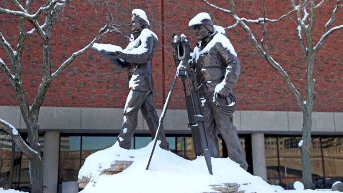
This weekend, a significant snowstorm is on the horizon for many of us, following Thursday’s messy weather system. With multiple storm systems lined up in the forecast, it’s likely that snow accumulations of a foot or more will be common across the region. As we prepare for the snowy days ahead, let’s delve into the specifics of what to expect over the weekend.
Preparing for the Storm
As we head into Saturday, the day will remain dry and cold, with temperatures hovering in the mid-30s. This calm before the storm presents an opportunity to make necessary preparations. Whether it’s checking your snowblower or stocking up on essential supplies, such as a new shovel, taking proactive measures will ensure you’re ready for the impending snowfall. This will also be an ideal time to run errands and avoid the rush that often accompanies snowstorm preparations. With Super Bowl Sunday coinciding with the impending snowstorm, supermarkets are likely to be bustling with shoppers stocking up on game day essentials.
While Sunday morning may see snowfall, the storm is not expected to create insurmountable barriers for travel. If you prefer to avoid the crowds, delaying your shopping plans until Sunday afternoon when roads are expected to be more manageable could be a strategic move. The forecast suggests that the snowstorm will not lead to prolonged travel disruptions, offering a window of opportunity to navigate the aftermath of the snowfall with ease.
Weekend Snowfall Outlook
As we transition into Saturday night and Sunday, snow accumulation is anticipated to exceed 6 inches in many areas. The predicted snow levels are expected to be higher in northern regions due to colder temperatures, resulting in fluffier snow consistency. Conversely, Cape Cod and the islands may experience lesser snowfall amounts. The snowfall is projected to peak between 1 a.m. and 1 p.m. on Sunday before tapering off. While the storm is not expected to be excessively windy, there is a potential for scattered power outages with accumulations exceeding 6 inches. Coastal flooding is unlikely to be a concern during this weather event.
The National Weather Service has issued a winter storm watch for Boston and Southern New England from 7 p.m. on Saturday through 4 p.m. on Sunday. Travel disruptions, including delays and cancellations at Logan Airport, are anticipated in the wake of the heavier snowfall forecasted for Sunday morning. Stay updated with the latest developments as the storm progresses.
Post-Storm Recovery and Next Week’s Forecast
Following the weekend storm, Monday and Tuesday are projected to provide a break from the wintry weather before another system threatens New England in the middle of the week. The upcoming storm may bring additional snow or a mix of precipitation, signaling a continuation of the winter weather pattern in the region. Southern New England can expect sunny skies on Saturday with snowfall on Sunday, while Western Mass. will see snow ending in the afternoon. Cape Cod and the Islands may experience a transition from snow to rain before the storm dissipates on Sunday afternoon. Northern New England will encounter cold, dry conditions on Saturday, followed by heavy snowfall on Sunday with temperatures in the 20s.
As we brace ourselves for the weekend snowstorm and subsequent weather systems, it’s essential to stay informed and prepared for the changing conditions. By taking proactive steps and staying updated on weather alerts, we can navigate the winter weather with resilience and caution. Remember to prioritize safety and be mindful of the potential challenges posed by the impending snowfall. Stay tuned for further updates and advisories as the weather situation evolves.


